Guide to the Trail: Ždiar – Szeroka Przełęcz Bielska – Przełęcz pod Kopą
Welcome to the heart of the Bielske Tatras! If you’re looking for a mountain adventure that combines challenge, beautiful views, and a peaceful hike, the trail from Ždiar through Szeroka Przełęcz Bielska to Przełęcz pod Kopą is perfect for you. It’s an ideal choice for intermediate hikers who want to experience the mountain atmosphere and conquer some peaks without seeking extreme difficulties. The estimated time for completing this trail is about 4.5 hours, but I guarantee every minute in these Tatras will be unforgettable!
- Time required: 4.5 hours.
- Difficulty level: Moderate, with one section secured by a chain.
- Elevation gain: About 1000 m (Variant 1), 1050 m (Variant 2).
- Safety: One section of the trail has a chain for assistance – prepare for some more challenging parts.
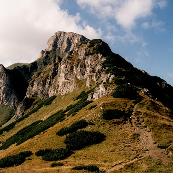
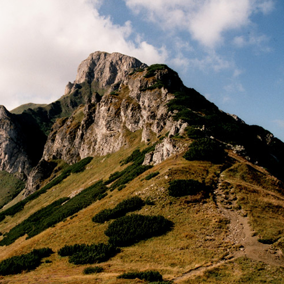
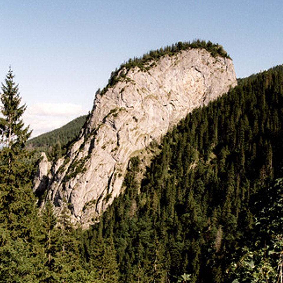
- Scenic value: The trail offers beautiful views, especially of Szalony Wierch, Płaczliwa Skała, and the High Tatras.
- Highest point: Szalony Przechód (1934 m above sea level).
- Season: The trail is mainly accessible in the summer; snow may complicate hiking in the winter.

Trail: Ždiar – Szeroka Przełęcz Bielska – Przełęcz pod Kopą
There are two ways to start the trail from Ždiar:
Variant through Dolina Mąkowa: From the main road (Nr. 67), turn towards Hotel “Magura.” Follow the paved road to the hotel, then take the forest trail leading to Bielský Potok (Bielský Stream). As you walk along the stream, you’ll pass several buildings and enjoy views of Płaczliwa Skała, Hawrań, and Szeroka Przełęcz Bielska. After about 30 minutes, you’ll reach the trail junction below Ptasiowskie Turnie, where both trail variants meet.
Variant through Strednica: If you prefer stunning views right from the start, take the variant through Strednica. From the parking area on road Nr. 67, walk towards a meadow, and after about 45 minutes, enter the forest where the two trail variants merge. This is a great option if you want to walk through fields full of crocuses, especially in the spring.
Photo Gallery


First section: Szeroka Przełęcz Bielska
After reaching the trail junction below Ptasiowskie Turnie, the steep ascent begins. This section of the trail is more challenging, but the views will make the effort worth it. As you pass Łasztowica, navigate narrow passages, and in the distance, you’ll catch sight of your goal – Szeroka Przełęcz Bielska.
At the pass, the views are somewhat limited, but it’s still worth stopping to admire Płaczliwa Skała, Łomnica, and Durny Szczyt. While the views here might not be as wide as on other peaks, the air and the grandeur of the surrounding mountains make the hike truly special.
See where the peak is
The Kopa Pass
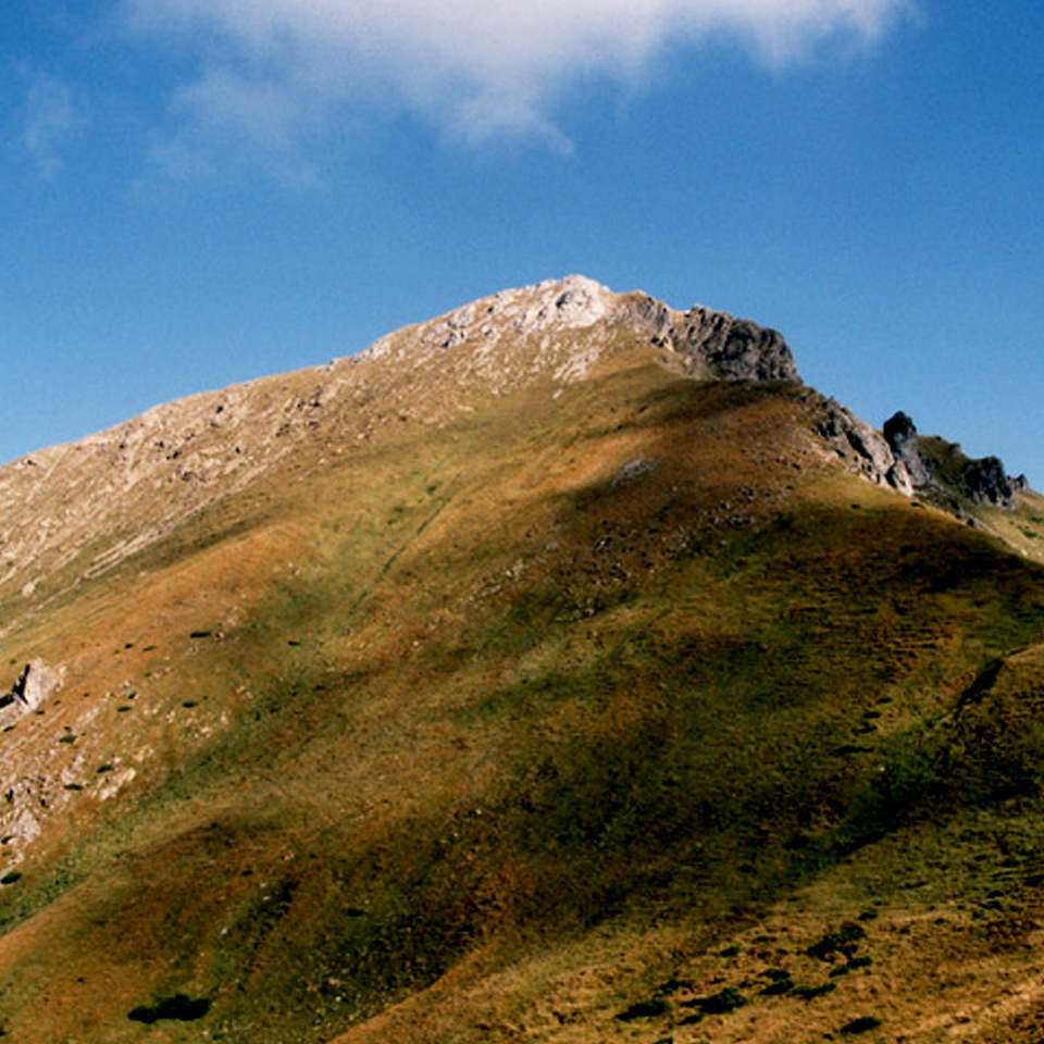
From Szeroka Przełęcz Bielska, continue towards Przełęcz pod Kopą. This section is easier, offering more relaxing views of the Bielske Tatras. The trail gently climbs towards Szalony Przechód – the highest point of the hike and the best viewpoint. From here, you get excellent views of Kieżmarski Szczyt, Łomnica, Durny Szczyt, and the Bielske Tatras’ ridge. As you descend further, you’ll reach Przełęcz pod Kopą, where you can either head towards Dolina Kieżmarska or Dolina Zadnich Koperszadów.
Who is this trail for?
The trail from Ždiar to Szeroka Przełęcz Bielska and Przełęcz pod Kopą is perfect for people with average fitness levels who have some experience with mountain hiking. While the trail is demanding in parts, it doesn’t require advanced alpine skills. It’s ideal for those seeking a combination of beautiful views, moderate challenges, and the right level of difficulty.
Interesting facts:
- Dolina Mąkowa is not just a trail but also an educational path that tells the story of the region’s history.
- During spring, the meadows near Strednica bloom with crocuses, making this a picturesque area.
- From the higher sections of the trail, you get a remarkable view of the Bielske Tatras, especially the Płaczliwa Skała and Hawrań.
- While the trail doesn’t offer panoramic views the entire way, the landscape changes frequently, from forests to expansive meadows.


